New Bicycle tour planning: how it works →

Create your own map

Your free map editor built on OpenStreetMap.
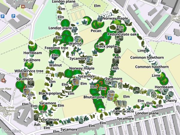
Create individual maps for your places, tracks and events - draw, style and share in real-time.

Playground
  • Open Source
  • Ad-free and no tracking
  • Self-hostable
Demo: a map with routes, photos and 3D buildings takes shape 0:51
Watch a map take shape: routes, photos, areas and 3D buildings.
7,082
maps created
3,030
registered users
AGPL-3.0
Code on GitHub →
2026-11
Latest update · Changelog →
Animation of the map editor: a photo gets added to a map

Build the map you have in mind

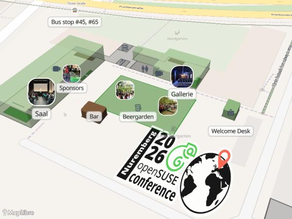
A bicycle tour, the floor plan for your conference, a guide for your wedding guests

  • Add your own data: Import your data from GeoJSON, GPX and KML Import from GeoJSON, GPX and KML
  • Draw shapes and style them: Add pictures, customize colors, symbols, labels, (3D) polygons, indoor maps and more Add pictures, customize colors, symbols, labels
  • Routing: Plan routes for walking, bicycle and car, with elevation profile
  • Dynamic layers: Use Overpass to add custom layers from OpenStreetMap data
  • Choose your base map: Streets, Satellite, Topographic, Biking, Watercolor, 3D houses etc.Choose your base map: Streets, Satellite, Topographic, Biking
  • 3D Terrain: View your map with mountains 3D Terrain: View your map with elevation
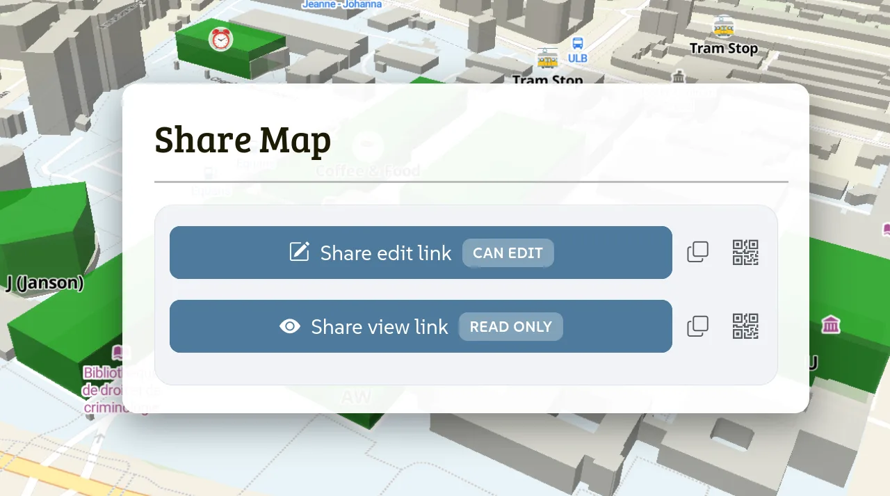
Share dialog with an edit link and a view link over a 3D map

One link to view, one to edit

Listed in the gallery, or shared privately

  • Embedding: Include your map on your own web page
  • Real-time: Map changes are synchronized to all users
  • Login: Have your maps assigned to your account
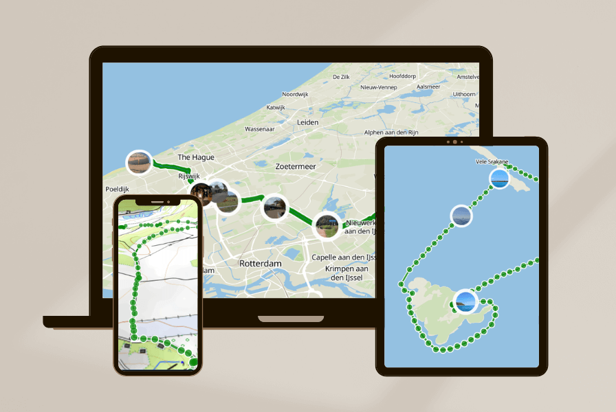
The same map on a laptop, a tablet and a phone

The map goes with you

Plan on desktop, run Mapforge on your phone, edit in the field, stream your track live

  • GPS and compass: The map follows your position and turns with you
  • Run in desktop/mobile browser or as app on your phone
  • Map your track: Use µlogger to visualize and share your tracks live
Globe with a heart over Central Europe

Open Source

The code is public, map data is owned by you